Geotechnical Instrumentation: Safety & Stability

By Schalk Prinsloo (Geotechnician for Terra Monitoring)
Geotechnical instrumentation plays a crucial role in ensuring the stability and safety of civil engineering structures, from dams and bridges to tunnels and skyscrapers. The advent of advanced technologies has brought about a paradigm shift in monitoring techniques, allowing for more precise and near real-time data collection. Terra Monitoring explores the importance of geotechnical instrumentation, and how the integration of control room data display systems enhances the overall monitoring process.
The integration of geotechnical instrumentation data into control rooms revolutionizes the monitoring process by providing a centralized platform for data analysis and decision-making. Control rooms equipped with advanced visualization tools allow engineers to monitor multiple instruments simultaneously, enabling a comprehensive assessment of the structural health of an entire project facility.
Near real-time data display in control rooms facilitates the quick identification of trends, anomalies, and potential issues. Visualization tools such as graphs, charts, and 3D models enhance the interpretability of complex data sets, empowering engineers to make informed decisions promptly. Moreover, the centralized nature of control rooms fosters collaboration among project stakeholders, ensuring a coordinated response to emerging challenges for effective risk management and decision-making.
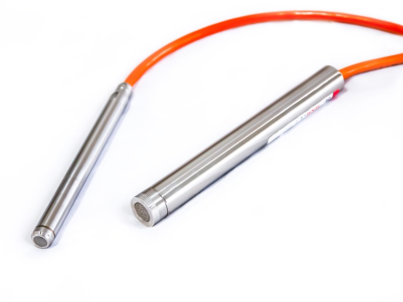
Integrating these diverse geotechnical instruments into a control room display allows for a holistic view of the site conditions, various types of geotechnical instrumentation can be integrated into a control room display to provide a comprehensive overview of the structural health and form part of an early warning system. Here are some key types of geotechnical instrumentation commonly added to control room displays:
- Vibrating Wire Piezometers: Measure groundwater pressure at different depths.
- Inclinometers: Measure lateral ground movements.
- Extensometers: Monitor soil or rock deformation.
- Tiltmeters: Detect rotational movements in the ground.
- Total Pressure Piezometers: Measure total pressure exerted.
- Strain Gauges: Measure strain on the surface of rocks or structures and can also be embedded to monitor internal strain within materials.
- Load Cells: Measure loads on foundations, support structures, bridges, and other elevated structures.
- Settlement sensors: Measure vertical ground settlement.
Terra Monitoring, a leading company who specialises in the installation and management of various types of geotechnical instruments, as the above mentioned, has expanded to be of the first companies to install shape arrays in Southern Africa.
Shape arrays have emerged as a cutting-edge technology in geotechnical monitoring, enabling engineers to detect deformations and movements within the ground with unprecedented precision. Comprising an array of sensors installed vertically or horizontally, shape arrays capture data related to ground settlement, lateral movement, and even tilt. These sensors continuously monitor changes in the structure of soil and rock, providing invaluable insights into potential risks.
The near real-time nature of shape array data allows engineers to promptly identify and respond to any unexpected shifts in the ground. This early warning system is particularly critical in preventing catastrophic failures and ensuring the longevity of infrastructure projects. Integrating shape array data into control rooms provides a centralized platform for monitoring multiple arrays simultaneously, streamlining the decision-making process and enhancing overall project safety.
Terra Monitoring, with a track record since the 1980’s, revolutionizes infrastructure resilience by integrating diverse geotechnical instruments. Allowing for quick and accessible data for engineers and to setup early warning systems.
“Terra monitoring also forms part of the Geogroup and is proud to state that we can offer a turnkey solution for geotechnical instrumentation from supply and installation through to maintenance and in-situ testing services.”
Plot 28 Central Road
Sunrella, Lanseria
Gauteng
South Africa
Tel. +27 (0)11 966 7760
Email. info@geogroup.co.za